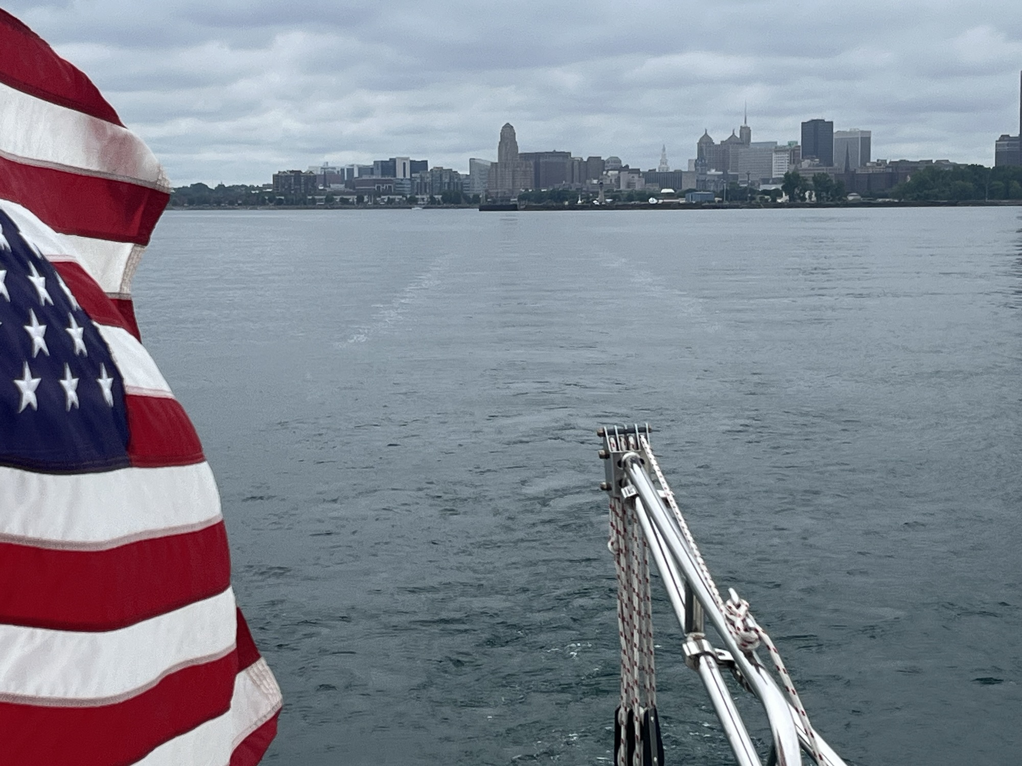
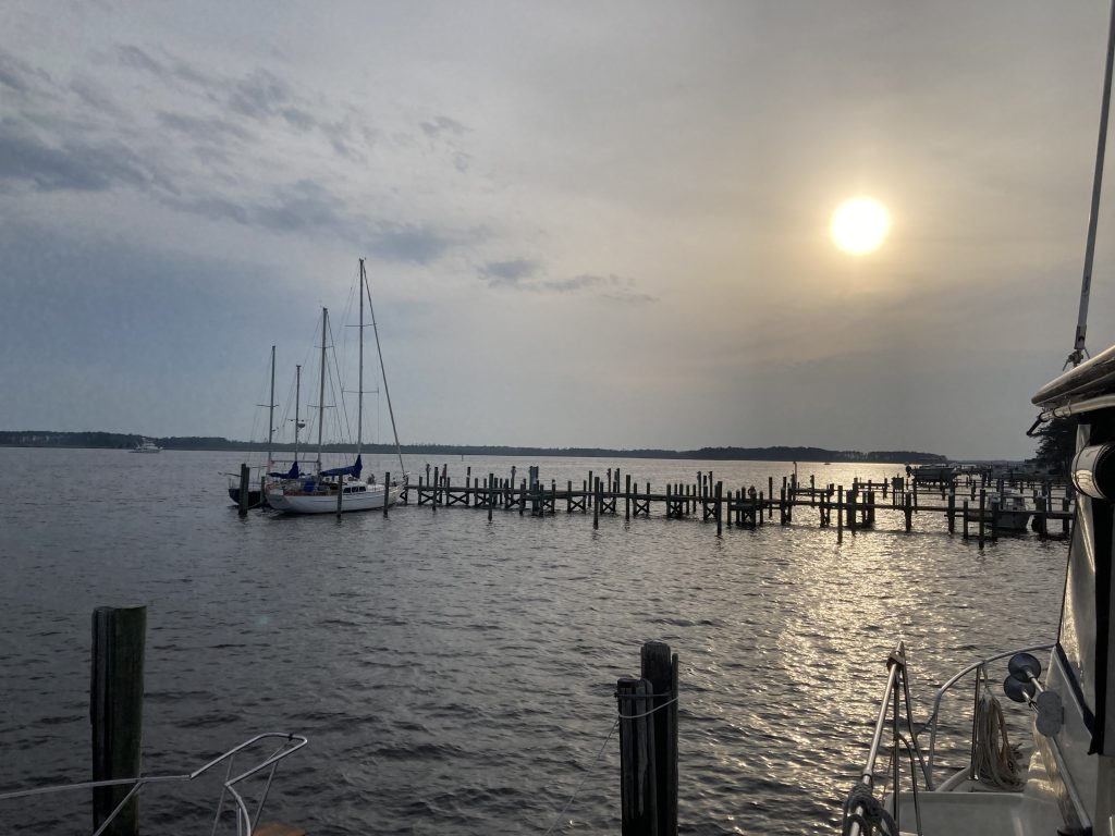
Painesville Ohio Harbor anchorage around 5:30AM.

Painesville, Ohio outer harbor anchorage about 5:30AM

Karl, Dolly, Ancestors, Progeny and Activities

We had tied up at the North Tonawanda Free Wall the previous night. Got an early start but had to wait 45 minutes to enter the Black Rock Lock that runs on a fixed schedule. Lake was smooth and our destination was Westfield Town Dock.
Then, the wind picked up. The Beach House began proving to old adage about a boat handling much rougher seas than the crew. We had the west wind on the bow. White capped waves were 2.5 feet with close spaced swells. We rode these for two hours and then changed destinations. Behind the breakwaters at Dunkirk the wind was still strong, and it took three passes before Dolly was able to put a stern line on a post at the town dock.
Today we cast off at 5:30 AM. It’s been much smoother and we did 39 nautical into Misery Anchorage at Erie PA. Arriving before noon.
It’s been quite a while since I’ve written something. By the end of the day, I’m too tired want to get anything written. I guess I’ll start off with Hilton Head. We had a fantastic lunch with some old friends at a waterfront restaurant. Good memories, good food and fun times.

The day before, we decided to go to WalMart to restock the groceries and other incidentals. We had already put in about 4 hours on the boat. We ordered an uber, and made the trip. Then we spent almost 2 hours in the store wandering around trying to find everything on our list. At the cash register, I asked to split the total between two cards. The cashier looked confused, but set it up. I stuck my card in the machine, and all of a sudden, she was reaching around and hitting the red X on the keypad. Then she put the remainder on the other card. When she gave me the receipt, i checked it to make sure that it was done right. I pointed out that she had put the amount for the first card as cash, and I did not give her any cash.
She went and got her manager who sent us off to the customer service desk with a “I’m right behind you.” (She never came over.) We were first in line at customer service, and the representative went to get her manager. We were told we had to go back to the register and I balked. I told her that wasn’t going to happen. To which she replied that we had to void the transaction and re-ring everything… almost $180.00 worth of merchandise. I repeated that wasn’t going to happen. (I could just see the cashier just starting an order for 100 items and we’d have to wait… No, just… NO!) she said that she couldn’t do it from there and I replied to return it all. It turned out it could be handled there at the service counter. She seemed to be pretty ticked off about it, but nowhere near what I was feeling. We went outside and waited for another uber. I did end up making a purchase of a cold coke and a bag of chips to snack on while we were waiting.
We could have walked out of the store with all that merchandise (I did have a receipt showing it had been paid for), but that wouldn’t have been right. I was also concerned about the cashier loosing her job when her till ended up so short. Karl commented that no good turn goes unpunished. He also commented that I seemed to have taken some lessons from him. (Returning everything is something he probably would have done a bit quicker than I did.) In the end, I was just too tired to let them keep running me all over the store.